Represents a visual object on a map linked to a specific map coordinate, contains an image with text. The text is individual for each SYMapPlace, but the image is the same for places belonging to the same SYMapPlaceCategory. More...
#import <SYMapPlace.h>
Instance Methods | |
| (nonnull instancetype) | - initWithId:description:coordinate:categoryId: |
| ((unavailable("Use init with parameters instead.") | - __attribute__ |
Class Methods | |
| ((unavailable("Use init with parameters instead.") | + __attribute__ |
Properties | |
| NSInteger | placeId |
| Place identifier. Must be unique between all SYMapPlace objects passed to SDK. More... | |
| NSString * | placeDescription |
| A description of the place, displayed on the map. To hide the text, use an empty string. More... | |
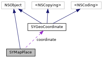
| SYGeoCoordinate * | coordinate |
| Map coordinates of the place. More... | |
| NSString * | categoryId |
| A category identifier the place belongs to. More... | |
Represents a visual object on a map linked to a specific map coordinate, contains an image with text. The text is individual for each SYMapPlace, but the image is the same for places belonging to the same SYMapPlaceCategory.
SYMapPlace objects are disallowed to overlap, when two objects are too close, one of them will be hidden. If cluster is set for one or more categories, nearby objects are grouped together, and the description text is replaced with the number of the grouped objects.
See also: SYMapPlacesManager adds SYMapPlace to SYMapView. User interaction: SYMapPlaceIdObject, SYMapView.objectsAtPoint, SYMapViewDelegate.didSelectObjects. Clustering: SYMapPlaceCategory.clusterId.
To display an individual image per map object, use SYMapMarker.
| - (nonnull instancetype) initWithId: | (NSInteger) | placeId | |
| description: | (nonnull NSString *) | description | |
| coordinate: | (nonnull SYGeoCoordinate *) | coordinate | |
| categoryId: | (nonnull NSString *) | categoryId | |
| - ((unavailable("Use init with parameters instead.") __attribute__ |
| + ((unavailable("Use init with parameters instead.") __attribute__ |
|
readnonatomicassign |
Place identifier. Must be unique between all SYMapPlace objects passed to SDK.
|
readwritenonatomicstrong |
A description of the place, displayed on the map. To hide the text, use an empty string.
|
readnonatomicassign |
Map coordinates of the place.
|
readnonatomicassign |
A category identifier the place belongs to.
 1.8.17